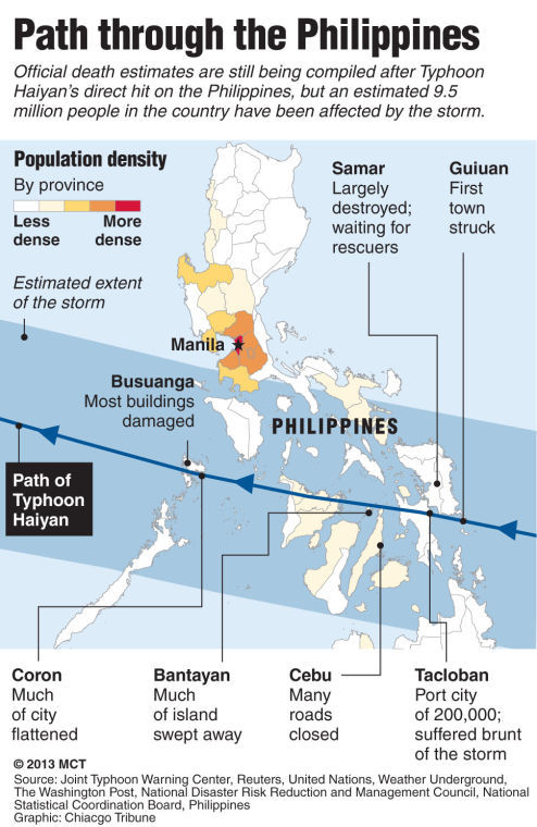
Typhoon Haiyan
By MCT Campus
• November 18, 2013
Load More Stories
Join our newsletter
Get Pitt and Oakland news in your inbox, three times a week.

By Anna Kuntz, Senior Staff Writer • May 14, 2024
By Spencer Levering, News Editor • May 3, 2024
By Abby Lipold, News Editor • April 29, 2024
By Abby Lipold, Assistant News Editor • April 28, 2024
By Betul Tuncer, Editor-in-Chief • April 27, 2024
Join our newsletter
Get Pitt and Oakland news in your inbox, three times a week.

By Anna Kuntz, Senior Staff Writer • May 14, 2024
By Spencer Levering, News Editor • May 3, 2024
By Abby Lipold, News Editor • April 29, 2024
By Abby Lipold, Assistant News Editor • April 28, 2024
By Betul Tuncer, Editor-in-Chief • April 27, 2024

